Realtor.com has become the first major home listings site to integrate a flood risk map into each property in its database.
The new feature, called “Flood Factor” and developed by the nonprofit research group First Street Foundation, gives properties a score of 1 to 10 representing the cumulative flood risk over the life of a 30-year mortgage.
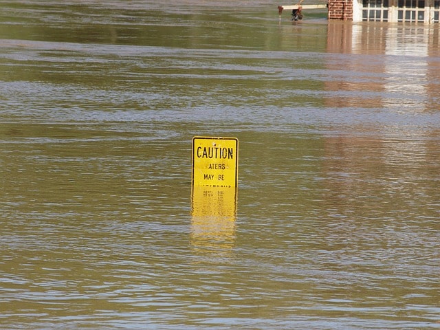
The Federal Emergency Management Agency already maintains flood risk maps, which are used to set requirements for homeowners to purchase flood insurance, but critics have noted the maps badly underestimate the actual risk of flooding for many properties.
Extensive First Street research published last year had identified many properties in New Hampshire at risk of climate change-caused coastal or inland flooding, which is forecasted to get worse as sea levels rise and the severity of storms increases due to climate change. First Street’s model also incorporates local initiatives to adapt to climate change and includes many areas not currently mapped by FEMA’s flood insurance maps. The assessment includes four types of flooding events: riverine, rainfall, storm surge and tidal sources.
“Historically, determining a property’s flood risk was an onerous process – in some cases, potential buyers would have no idea a property was in a flood zone until it was flagged by the mortgage company prior to closing, or in some cases not at all,” Realtor.com Senior Vice President of Product Leslie Jordan said in a statement. “By surfacing this information upfront, consumers can avoid surprises and have all the information they need to make informed decisions and feel confident about the home buying process.”
The announcement came the same week as Hurricane Laura transformed from a Category 1 hurricane into extremely powerful Category 4 storm overnight as it approached landfall in Texas and Louisiana. The storm comes hot on the heels of tropical storm Marco, a history-making occurrence of multiple severe storms hitting the same region within days of each other.